


Maps of mountain bike routes, trail runs and hiking trails, ski slopes and sledging runs, local maps and more – whatever map or route in the Haslital you’re looking for, you’re sure to find it on this page.


Summer maps
Bike routes, trail runs and hiking trails
Here you will find all the summer maps for the Haslital holiday resort. Find maps for mountain biking or road cycling, hiking or running in summer here.
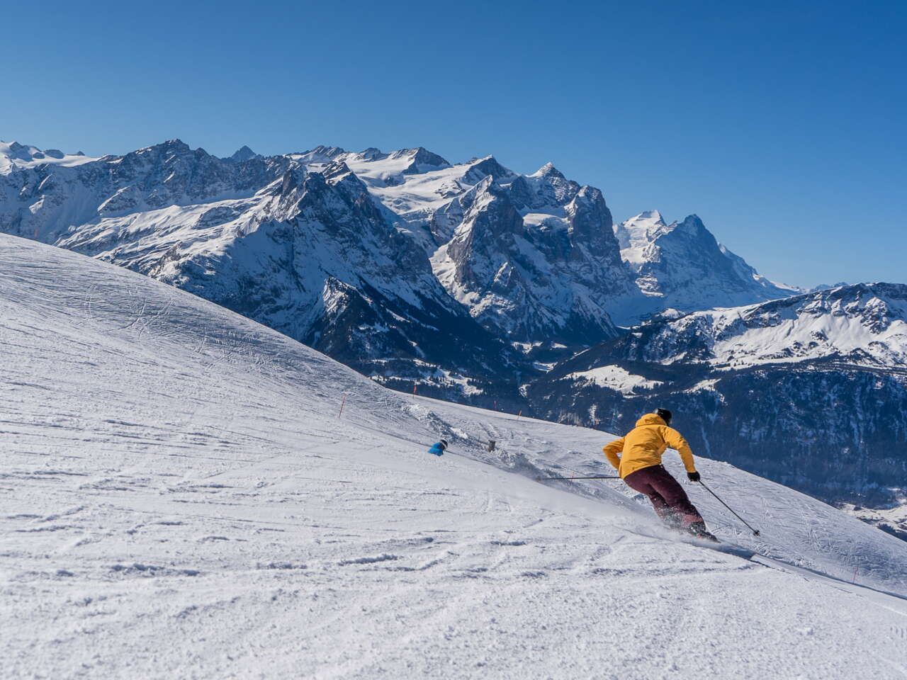
Winter maps
Ski slopes, sledging runs and hiking trails
Here you will find all the winter maps for the Haslital holiday resort. Find maps for skiing, snowboarding, trail running or hiking in winter here.


Local maps
Where to find what?
Need to know where the tourist office, railway station or nearest pharmacy is? The local maps of Meiringen and the Hasliberg will help you find the answers you need.