Here you will find all the summer maps for the Haslital holiday resort. Find maps for mountain biking or road cycling, hiking or running in summer here. You can also find information about which routes and mountain railways are currently open here. Which could be good to know at some point to get from one place to another the easiest way.
HIKING ROUTES
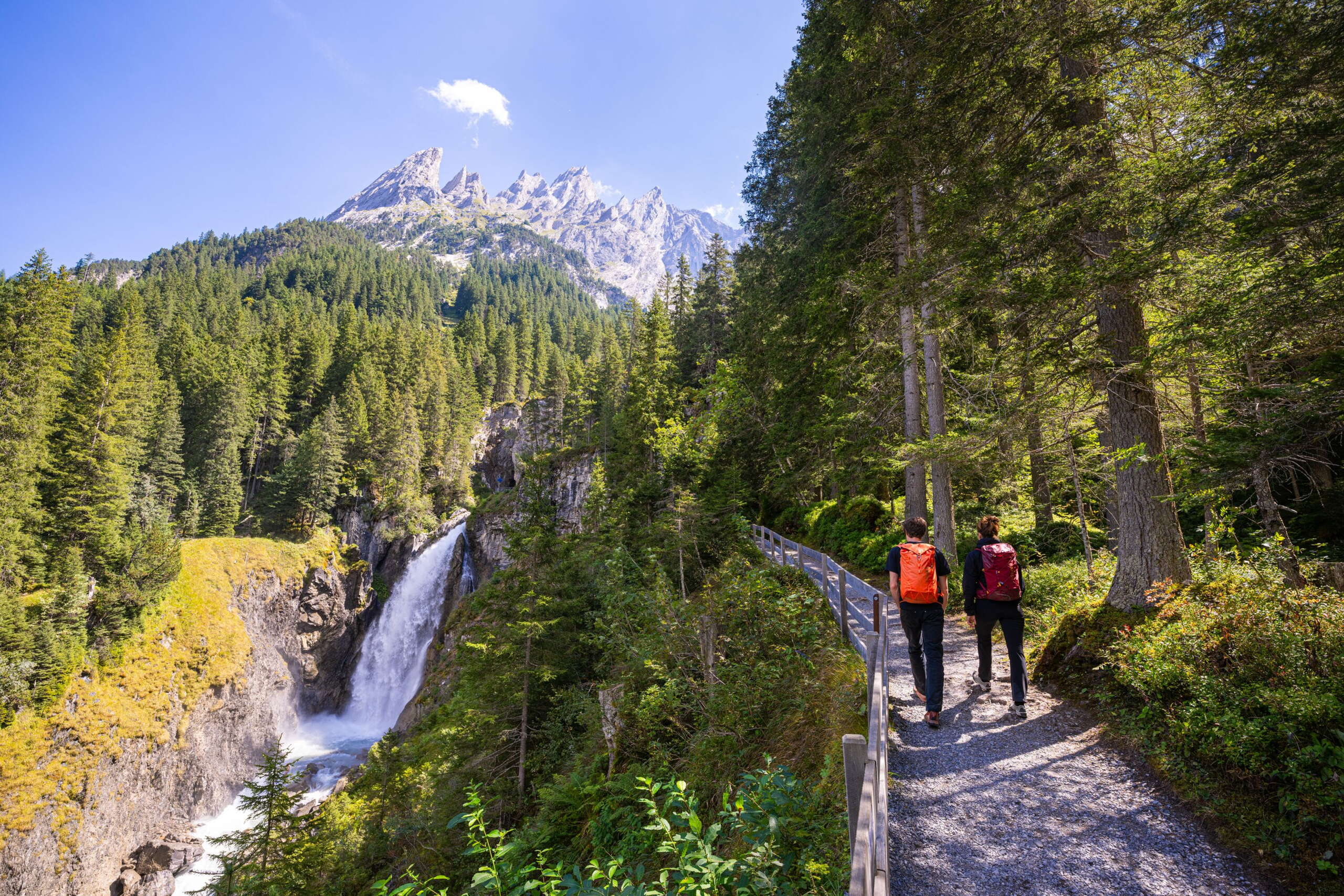
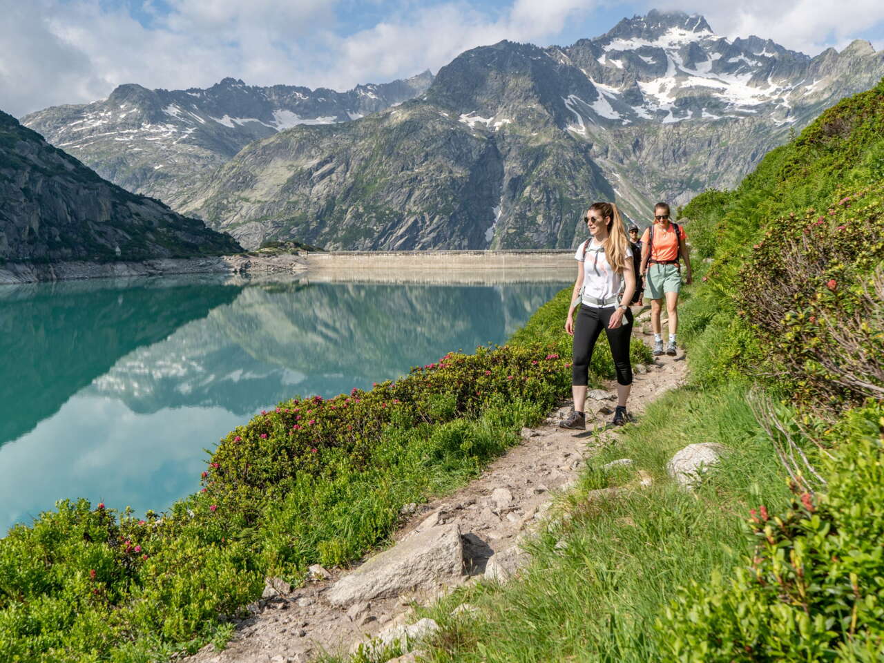
A long hike or a leisurely stroll
Deep blue mountain lakes, lush green Alpine meadows, white mountain peaks – unrivalled scenery. Every walk in the Haslital holiday resort is an unforgettable experience.
CYCLING AND MOUNTAIN BIKING TOURS
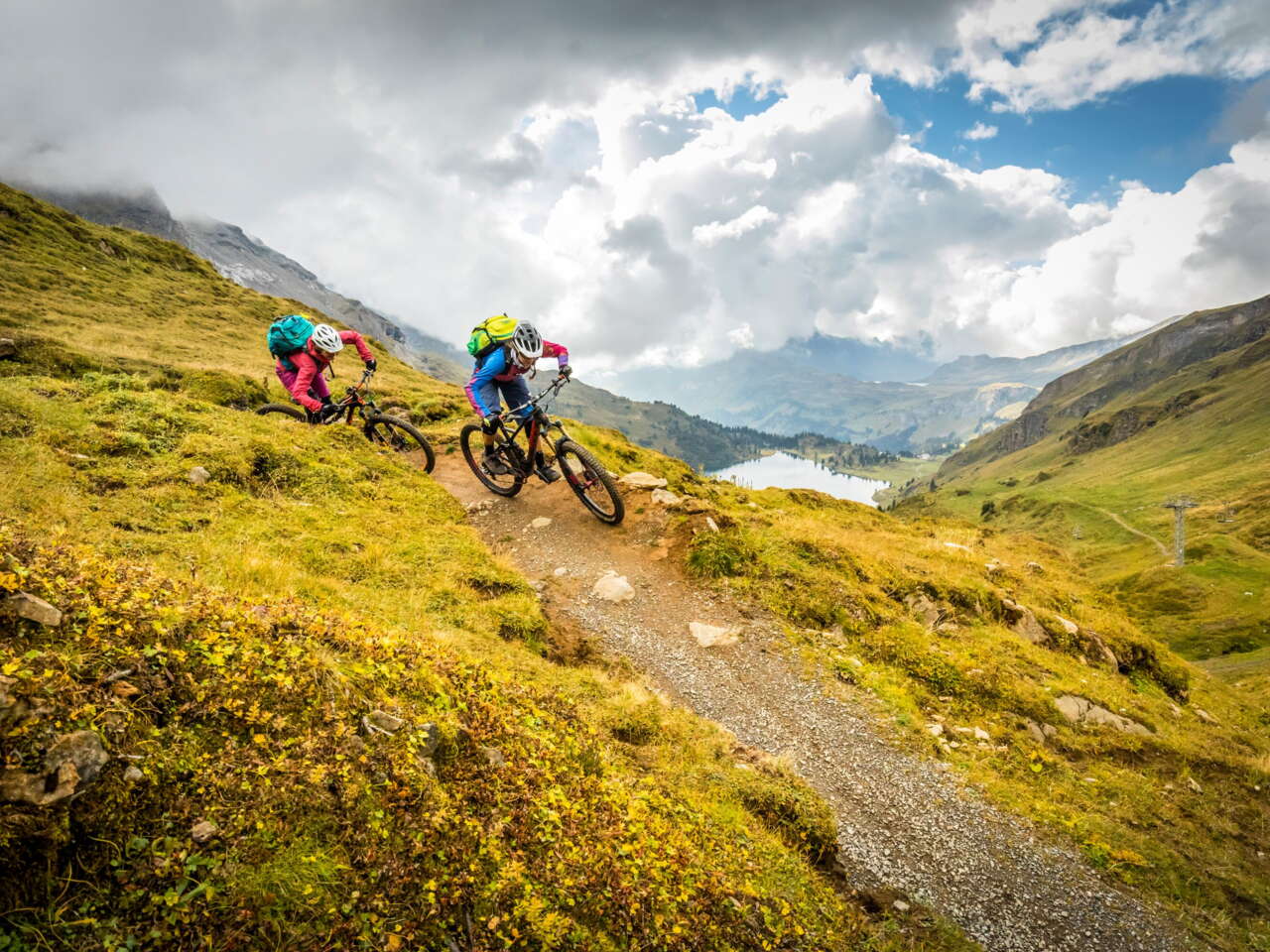
Get out and about on two wheels!
Grab a mountain bike, e-bike or road bike and start exploring the spectacular mountain landscape of the Haslital holiday resort.
STATUS OF FACILITIES
Is my route open or closed?
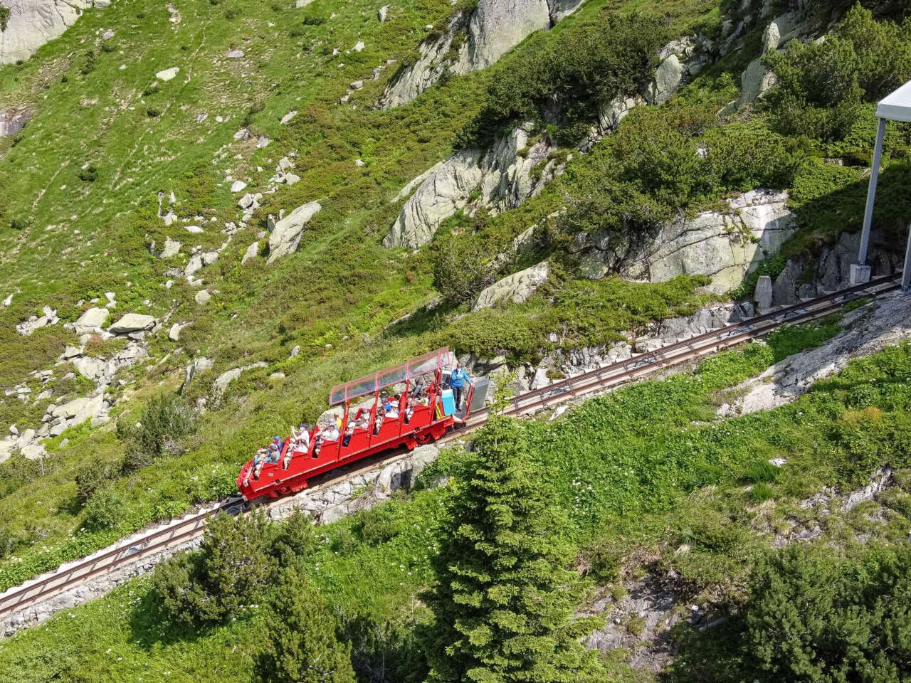
One question people often ask in spring and late autumn especially is whether hiking trails, mountain bike routes, trail running routes or mountain railways are open yet or if they are still open. Even during the summer season, unexpected events can still require closure of a route or train line. Our overview maps will always keep you up to date.


